Why it’s extraordinary
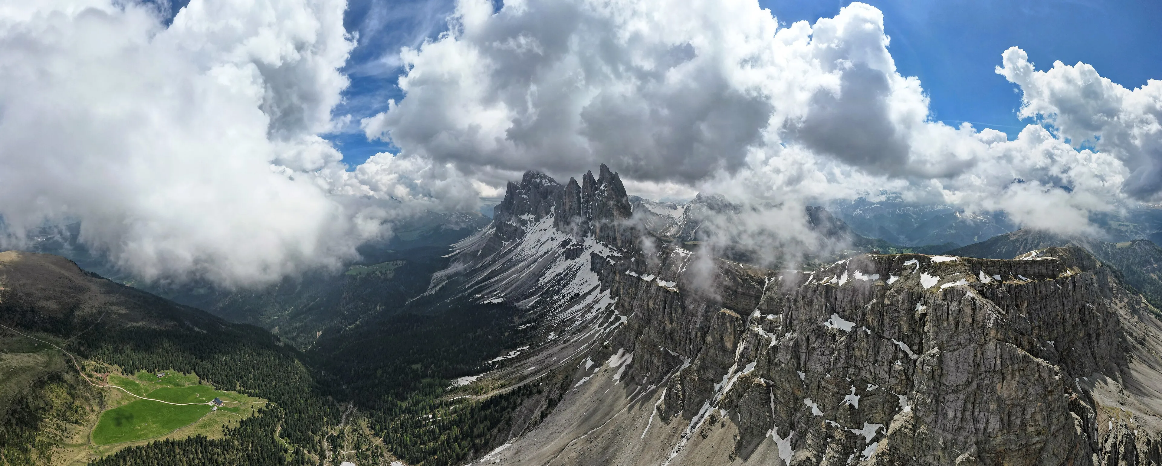
The Canadian Rockies don’t do subtle. Banff National Park is the best-known piece of a much larger World Heritage property: four contiguous national parks — Banff, Jasper, Kootenay and Yoho — plus three provincial parks, together covering about 2.3 million hectares and stretching some 400 kilometres. UNESCO describes it as a landscape of peaks, glaciers, lakes, waterfalls, canyons and limestone caves.
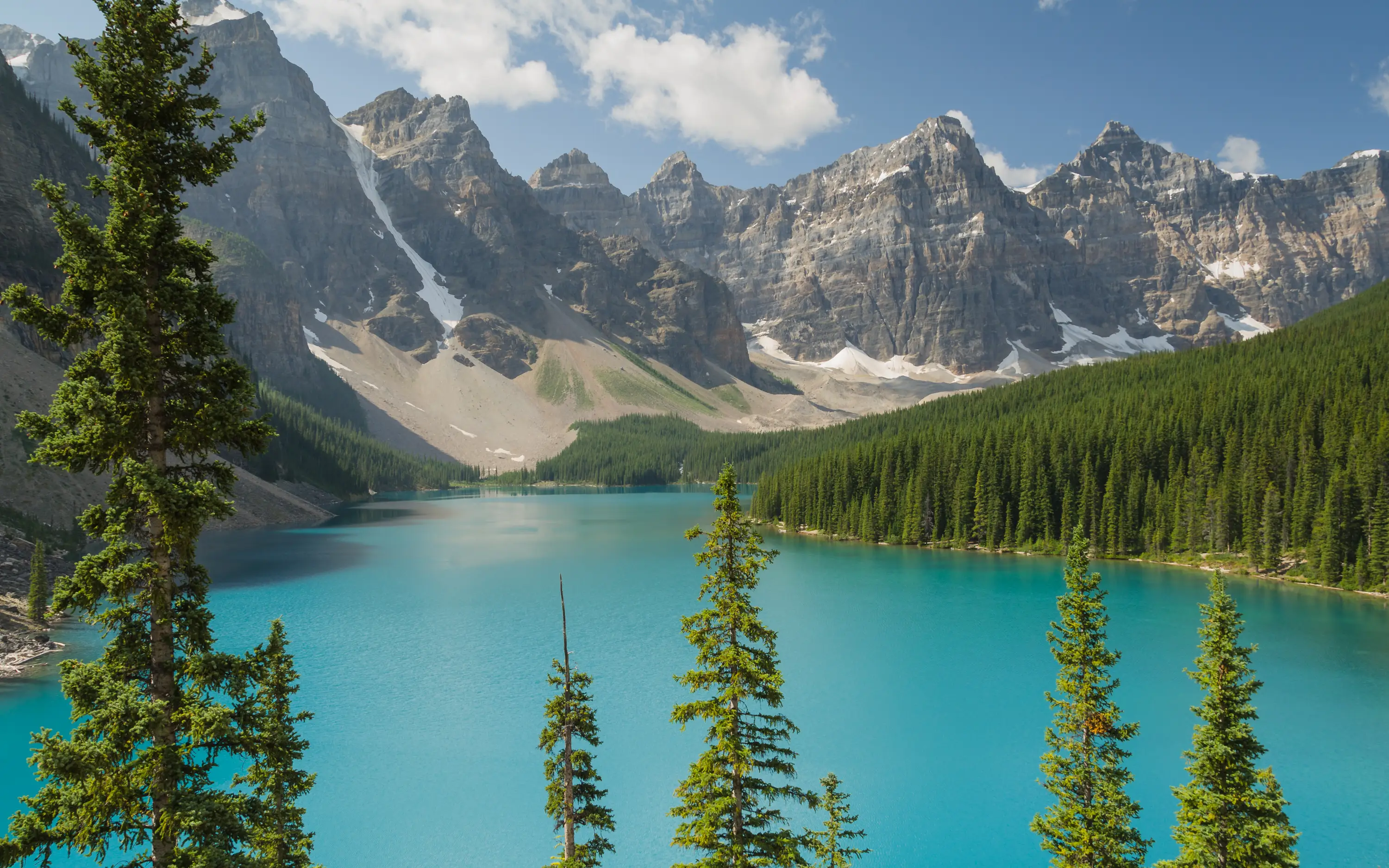
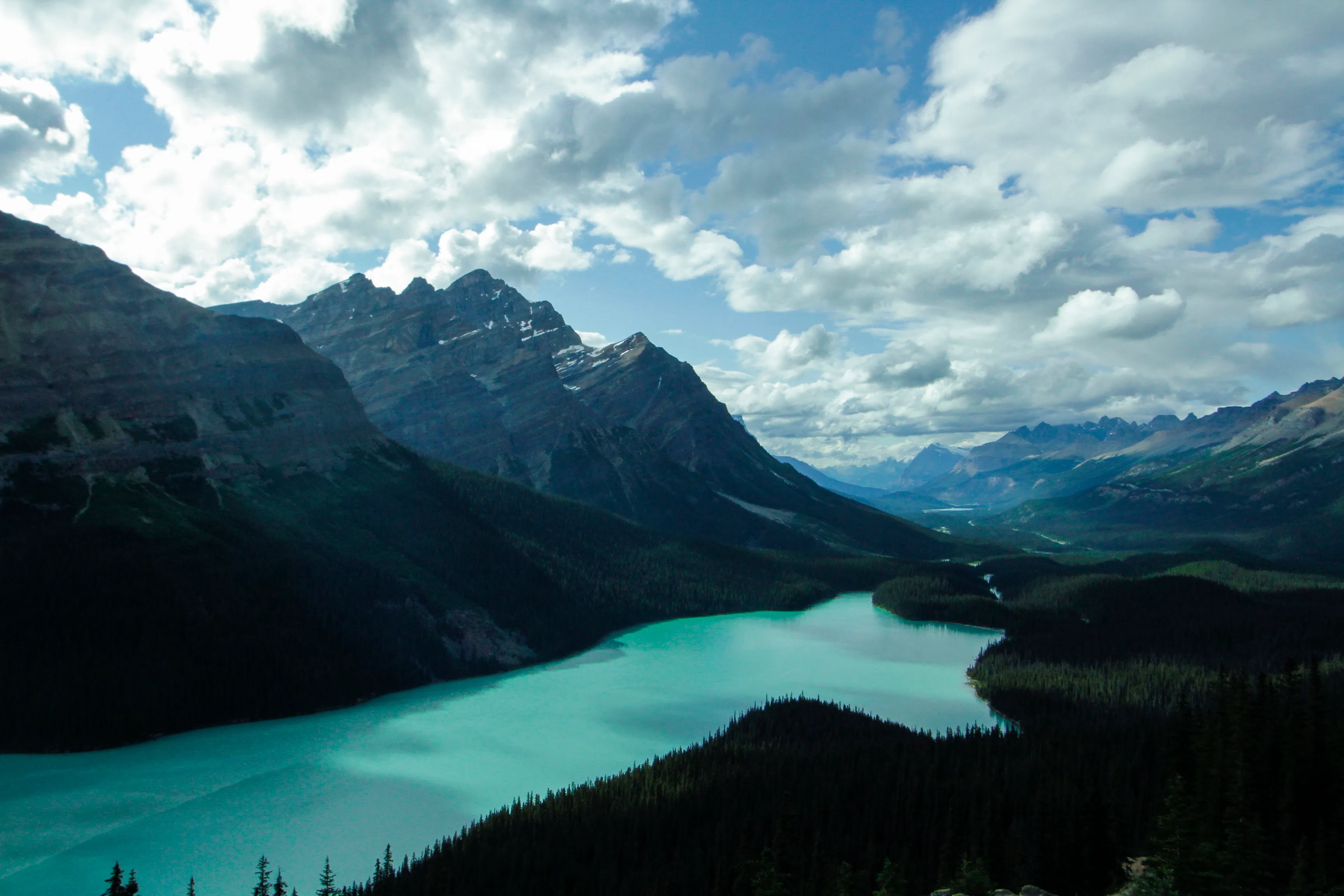
What most visitors remember is the water. Lakes such as Moraine and Peyto glow an improbable turquoise below the peaks.
A window into the Cambrian
The same World Heritage property holds one of palaeontology’s great treasures. UNESCO calls the Burgess Shale one of the most significant fossil areas in the world: exquisitely preserved remains of a marine community dominated by soft-bodied organisms. It is a striking reminder that rock now thousands of metres up began as sea floor.
Sharing the park with wildlife
Banff is wild country, and Parks Canada manages it that way. Trails and areas close seasonally when bears are feeding, and some routes carry group-size or timing rules. In late summer, for example, the Bryant Creek area has a hiking restriction while bears feed on berries. Checking the official closures page is part of planning here, not an afterthought.
Protected by design
Size is part of what keeps this landscape intact. UNESCO notes that the World Heritage property runs about 400 kilometres from end to end and up to 100 kilometres wide, and that more than 95 per cent of it is legally or administratively maintained in a completely natural condition. Banff’s famous viewpoints are the visible edge of a much larger, much wilder mountain system — one where karst caves, thermal springs and deeply cut canyons sit alongside the glaciers and lakes.
Planning notes
The town of Banff sits about 128 km west of Calgary, whose international airport is the closest. Moraine Lake Road is closed to personal vehicles all year, so plan on other ways to reach it. In winter, the park shifts to snow: cross-country ski trails open around Lake Louise and Banff, and some roads and trails close or go uncleared until spring. We don’t list park pass prices here; check Parks Canada before you go.
Verified practical notes
- Location: In Alberta, 128 km (80 miles) west of Calgary; the closest airport is Calgary International (Parks Canada, checked 2026-10-16)
- Moraine Lake: Moraine Lake Road is closed to personal vehicles year-round (Parks Canada, checked 2026-10-16)
When to go
- Seasonal road closure: The west section of the Minnewanka Loop Road is closed from November to May (Parks Canada)
- Wildlife restrictions: Seasonal restrictions protect bears, e.g. Bryant Creek hiking restriction Aug 1 – Sep 30 while bears feed on berries (Parks Canada)
- Winter trails: Lake Louise cross-country ski trails Nov 1 – Apr 30; Banff ski trails Dec 1 – Apr 15; the Banff Legacy Trail is not cleared of snow and ice from early fall to the end of spring (Parks Canada)
Share this place
Sources
- UNESCO World Heritage Centre — Canadian Rocky Mountain Parks — accessed 2026-10-16
- Parks Canada — Banff National Park: closures and restrictions — accessed 2026-10-16
- Parks Canada — Banff National Park: how to get there — accessed 2026-10-16
- Wikipedia — Banff, Alberta (coordinates only) — accessed 2026-10-16
Last verified 2026-10-16 · Written by WonderAtlas Editors. Original editorial text; no first-hand visit is claimed. How we work.